.sid
SID file: what it is and how to open it
A .sid file is a MrSID image, the compression format LizardTech, now Extensis, built for very large aerial photos, satellite images and scanned maps used in GIS.
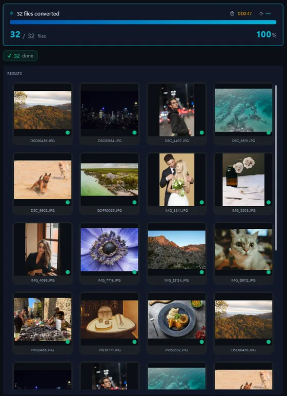
- Add your SID filesDrop in single files or a whole folder.
- Pick output formatJPG, PNG, TIFF, PDF and more.
- Click ConvertEvery file converted in one pass.
Windows Photos and most editors cannot open it. Free GIS viewers can; Contenta Converter batch converts .sid files to JPG, PNG or TIFF so any program can show them.
How to open a .SID file on Windows
- QGIS (free). The open-source GIS opens MrSID through its GDAL driver and can export the view as GeoTIFF, keeping the map coordinates.
- GeoViewer (free, from Extensis). The format maker's own viewer for Windows: opens .sid files, measures, and exports a region.
- Contenta Converter, for folders. Drop a folder of .sid files and get a JPG, PNG or TIFF picture of each, in one batch, with no GIS installed.
Before you convert SID files
- What changes in the conversion
A .sid stores the picture in many zoom levels plus, in GIS use, the coordinates that place it on the ground. The JPG, PNG or TIFF you get is one picture at full size: the same image, but the geographic reference stays in the .sid and its .sdw world file, and the zoom pyramid is gone. Keep the original for GIS work; use the converted picture for reports and slides. - What Contenta Converter does with SID
Contenta Converter decodes the full-resolution image of each .sid with the MrSID decoder and writes it as JPG, PNG or TIFF, for a whole folder at once. It writes plain pictures, not GeoTIFF, and does not create a world file for the output. The .sid files are only read and left as they are.
The same photo, five outputs
 DSC_0001.NEF · 3900×2613
- PNG.png1.9 s16.1 MB
- AVIF.avif2.2 s2.02 MB
- JPG.jpg1.7 s1.69 MB
- WebP.webp1.7 s1.32 MB
- JPEG XL.jxl1.7 s1.12 MB
Formát |
SID |
Společnost |
LizardTech |
| Popis | MrSID is an acronym that stands for multiresolution seamless image database. It is a file format (filename extension .sid) developed and patented by LizardTech for encoding of georeferenced raster graphics, such as orthophotos. |
| Výhody | Since MrSID files contain multiple scale and quality levels they are claimed to be well suited for streaming over the World Wide Web. Only the requested zoom and area of the image is sent to the browser making the drawing/navigating/viewing performance extremely fast. |
| Nevýhody | not many programs handle it |
Ready to convert your SID files? Download the free trial.
Download the free trial: every file converts, keep 10 cleanTestimonials:
"V potřeba převést tyto obrázky dnes byl reliéf najít software. Díky!"Jason Hoffman, CA
"I RAWS střílet každý den, a já rád vaše převodník. To opravdu šetří čas."
Jim Richardson, Indianapolis
"Musím říct, že jsem hledal na fotografii převodníky a Vy je čisté, jednoduché a strašně dobré."
Brandon Keegan, NY
Satisfaction Guaranteed:
 | Professional photo conversion and processing as easy as it should be |
|
| Trusted by photographers, designers, and businesses worldwide. |
|
| Totally risk free. After purchase, you have a 30-day money back guarantee. No questions asked. |
SID image organization
SID image processing
SID image annotation
Frequently Asked Questions about SID
What program opens a SID file?
GIS software: QGIS (free), ArcGIS, Global Mapper, and Extensis GeoViewer, the free viewer from the format maker. Ordinary image viewers and Windows Photos do not open MrSID. To use the image outside GIS, convert it to JPG, PNG or TIFF.
Is the converted picture georeferenced?
No. Contenta Converter writes a normal JPG, PNG or TIFF of the image. The coordinates stay in the original .sid and its .sdw world file. If you need a georeferenced output, export a GeoTIFF from QGIS instead.
Why does a SID file take so long to convert?
A single MrSID aerial mosaic can be tens of thousands of pixels on each side and several gigabytes once decompressed. Decoding it takes time and disk space. A TIFF above 4 GB is refused by many programs, so choose JPG or PNG for the largest files.
Need more than SID conversion? Browse supported cameras that produce SID files below, or: